


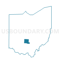
Precinct WALNUT-EAST, Pickaway County, Ohio
About
Outline

Summary
| Unique Area Identifier | 650994 |
| Name | Precinct WALNUT-EAST |
| County | Pickaway County |
| State | Ohio |
| Area (square miles) | 18.85 |
| Land Area (square miles) | 18.85 |
| Water Area (square miles) | 0.00 |
| % of Land Area | 99.99 |
| % of Water Area | 0.01 |
| Latitude of the Internal Point | 39.69305740 |
| Longtitude of the Internal Point | -82.86273550 |
Maps


Graphs
Select a template below for downloading or customizing gragh for Precinct WALNUT-EAST, Pickaway County, Ohio


Neighbors
Neighoring Voting District (by Name) Neighboring Voting District on the Map
- Voting District AMANDA A, Fairfield County, OH
- Voting District AMANDA B, Fairfield County, OH
- Precinct MADISON TOWNSHIP, Pickaway County, OH
- Precinct WALNUT-WEST, Pickaway County, OH
- Precinct WASHINGTON-NORTH, Pickaway County, OH
Top 10 Neighboring County Subdivision (by Population) Neighboring County Subdivision on the Map
- Washington township, Pickaway County, OH (3,151)
- Walnut township, Pickaway County, OH (2,809)
- Amanda township, Fairfield County, OH (2,706)
- Madison township, Pickaway County, OH (1,355)